


Understanding natural hazards
in Guadeloupe
Due to its geographical location, Guadeloupe is a territory particularly exposed to numerous hazards of climatic, geological and maritime origin.
Hurricanes, earthquakes, volcanic eruptions, landslides, floods and tsunamis. All constitute a regular threat to the population, infrastructure and the environment.
Knowing them allows us to adopt the right reflexes, to protect ourselves, but also to ensure the sustainable development of Guadeloupe.



Risk description
A hurricane is an intense meteorological phenomenon accompanied by violent winds, heavy rain and significant swell.
In Guadeloupe, cyclones can cause material damage, power outages and flooding, but they are continuously monitored by the authorities.
Essential gestures

Stay informed through official media and Météo France
Follow the instructions of the local authorities
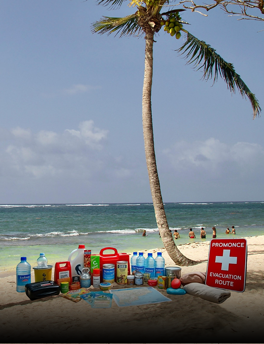
Prepare a safety kit (water, food, flashlight, radio, medicine)
Securing your home (shutters, outdoor objects)
Limit travel during the alert
Hurricanes
Frequency and period of risk
Hurricane season from June to November
Peak season: August to October
Namely
-> The entire territory of Guadeloupe may be affected
Coastal areas are more exposed to wind and swell.
-> Sloping areas or areas near rivers are more susceptible to flooding
-> The alert levels (yellow, orange, red, purple) allow us to anticipate and act progressively
Find our explanatory video right here !
Find out in detail how to act when an alert is triggered here !

Risk description
An earthquake is a shaking of the ground caused by the movement of tectonic plates.
Guadeloupe is located in an active seismic zone: earthquakes are therefore frequent.
Essential gestures
Take cover under a sturdy piece of furniture
Stay away from windows and objects that could fall
Do not run out of the room during the shaking
Get informed after the earthquake through the authorities
Earthquakes
Frequency and period of risk
Possible risk all year round
Most tremors are barely felt and the strongest earthquakes remain rare.
Namely
-> The entire archipelago is affected
-> Some earthquakes can be followed by aftershocks
-> Earthquake-resistant building standards are applied in Guadeloupe
Find our explanatory video right here !
Find out in detail how to act when an alert is triggered here !

Risk description
Floods are caused by heavy rainfall that can lead to a rapid rise in water levels.
They can be accompanied by landslides, especially in sloping areas.
Essential gestures
Do not cross a flooded road
Move away from waterways
Limit travel
Stay informed about how the situation is developing
Floods and landslides
Frequency and period of risk
Primarily during the rainy season and cyclone season
Phenomena that are sometimes rapid and localized
Namely
-> Areas near rivers and ravines are more exposed
-> Roads can become dangerous very quickly
-> Saturated soils promote landslides
Find our explanatory video right here !
Find out in detail how to act when an alert is triggered here !

Risk description
A tsunami is an exceptional sea wave caused by an underwater earthquake, a major landslide, or a marine volcanic eruption.
This phenomenon is rare in Guadeloupe, but taken very seriously.
Essential gestures
Move away from the coastline immediately
Reach the heights without delay
Do not return to the beach without official authorization
Follow the instructions of the authorities
Tsunamis
Frequency and period of risk
Possible risk all year round
Low probability, but potentially significant impact
Namely
-> Coastal areas are the most exposed
-> A sudden drop in sea level can be a warning sign
A tsunami warning system is in place in the region.
Find our explanatory video right here !
Find out in detail how to act when an alert is triggered here !

Risk description
Guadeloupe is home to the Soufrière volcano, an active volcano.
Eruptions are rare, but volcanic activity (gas, ash) can occur.
Essential gestures
Respect the restricted areas
Follow evacuation instructions if necessary
Avoid hiking during periods of high activity
Get information from local authorities
Volcanic eruptions
Frequency and period of risk
Possible risk all year round
Periods of heightened surveillance are announced by the authorities.
Namely
-> The areas closest to La Soufrière are the most affected
-> Security perimeters can be put in place
-> The volcano is constantly monitored by scientists
Find our explanatory video right here !
Find out in detail how to act when an alert is triggered here !